
Madeira Day 4 | Ribeiro Frio – Pico do Arieiro
Hiking 16.2km Ascent: 1080m Descent: 192m Max Elevation: 1818m
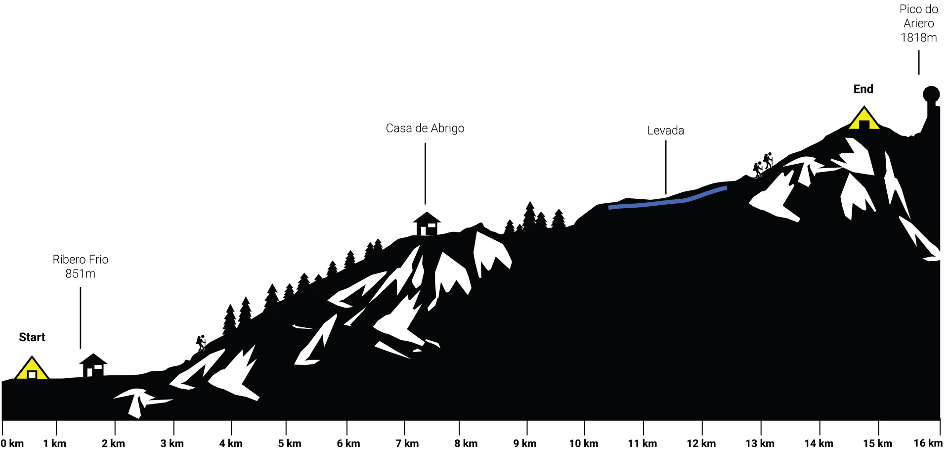
After 30 minutes we arrived in Ribeiro Frio, the trail so far, was super simple, wide enough to walk next to each other and enjoy the views.
Arriving at Ribeiro Frio, we had a coffee at the local restaurant. The Tourist busses were arriving almost every minute. It was a pleasure, to see the tourist despair, with their hire cars at the steep road.
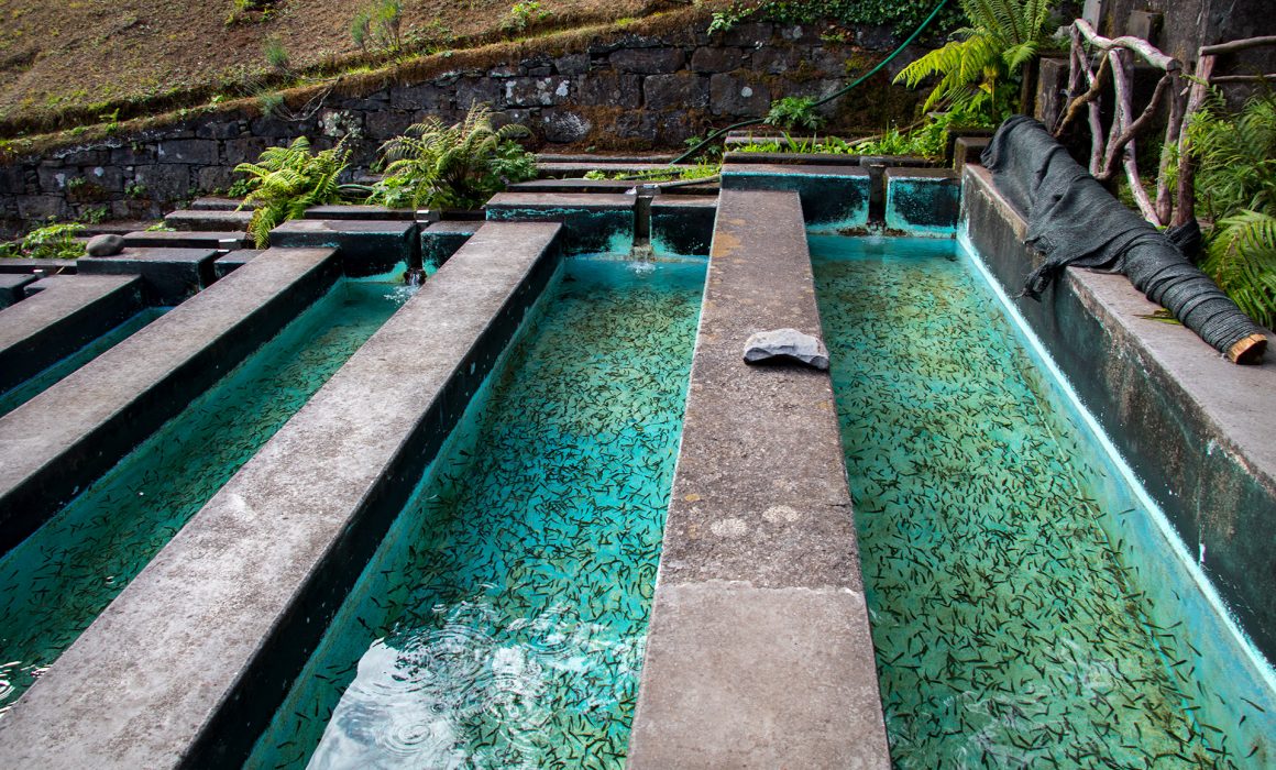
In Ribeiro Frio Forest Park you can observe the interesting Ribeiro Frio Aquaculture station, with its “arco-íris” (rainbow) trout nurseries aimed at the production of trout to replenish the water lines of Madeira. The whole Station is about 860m long.
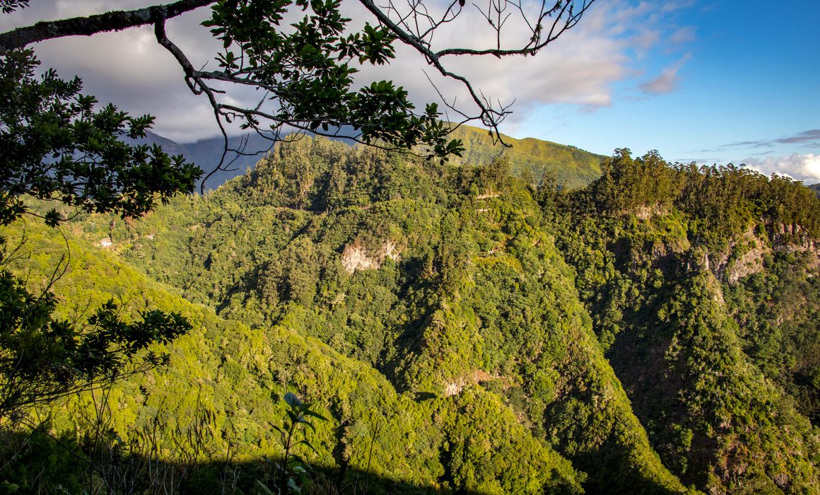
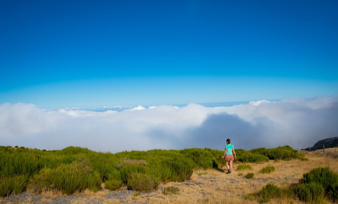
From here on, we used the Levada water, for cooking and even drinking without any purification tablets. Now it was time to conquer the central massif. There is an old road, which can be used for the first kilometers. We followed the cobblestone path, through the laurisilva forest. Next to us a calm rippling stream.
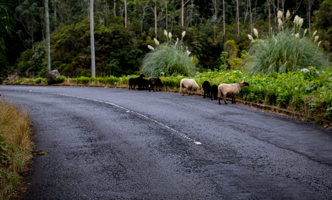
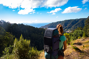
We gained elevation pretty quickly. Faster than we can thought, we found our self in huge cedar forest. The ascent towards Pico do Arieiro was a beast, in 13 kilometers we gained 1km in elevation. In the middle of the forest, a few goats followed us. The motorists cheered us. There are not so many backpackers carrying everything by their own. Especially not on this stretch.
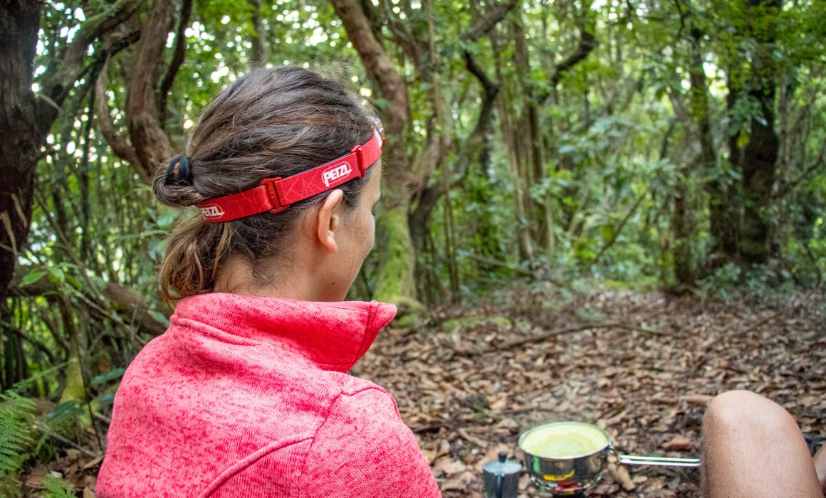
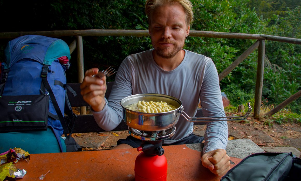
In Poiso we made a little lunch stop. –Asia noodle snack time
At the Casa de Abrigo do Poiso, we bought 2 bolo de caco, a typical sandwich. This nice restaurant was the first and only shelter, if you wanted to cross Madeira from south to north in the past. Which was a difficult thing to achieve. A lot of famous people spend a night in this shelter.
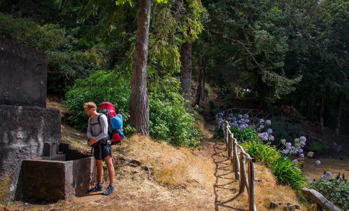
There is a public water tap in a small park. Where you can refill your water supplies.
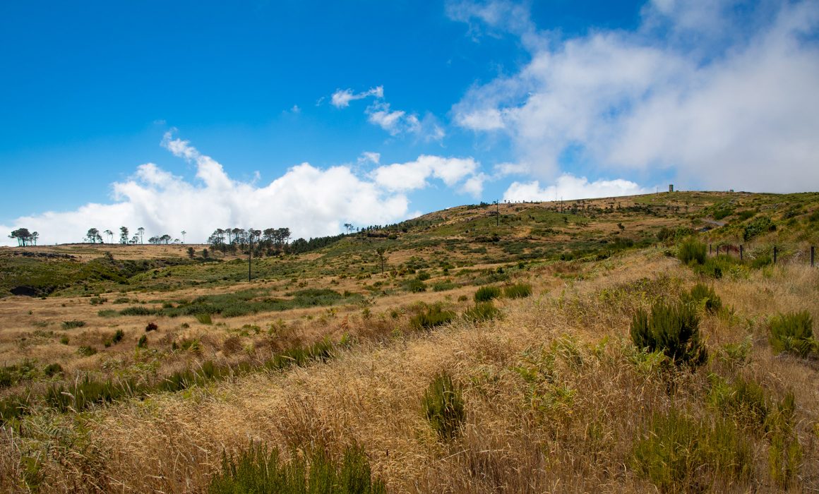
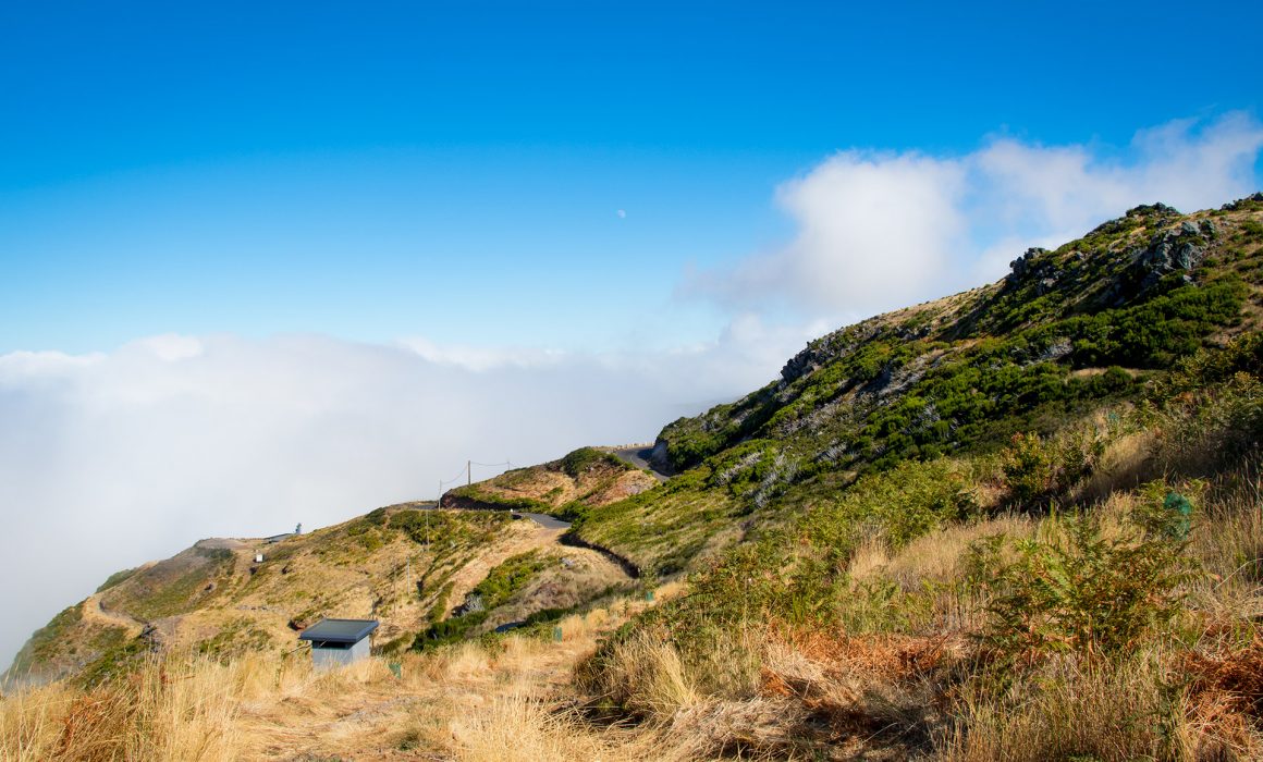
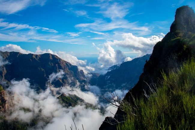
We walked back to the roundabout, we crossed earlier. Following the sign “Pico do Arieiro” which at 1.818m is Madeira’s third highest peak. We just walked cross country. After 1.5km we reached a small picnic area, from here we followed a Levada towards Pico do Arieiro.


love your trip & the whole blog! fantastic!!
possible to get in touch to exchange some more information regarding free camping on madeira?
thinking about doing this trip in April 19
🙂
Hey Flurin!
Thank you so much for your kind words. April sounds perfect! You will love the peace of this place. The views, the smells, and the whole experience of sleeping in the mountains is everything!
You can apply for a wild camping permission at the Regional Forest Directorate. Here is the permission form.
I will send you an email with more information.
If you are interested, you can also download our GPS data from our day to day trek entries (below the height profile).
I wish you tons of fun!
Send us some pics!
All the best
Bella
Hello 🙂 I love your website – it is full of amazing inspiration. We are planning to cross Madeira in June. I am trying to download your GPS data but it does not work :// Would you be so kind and send me that througt email?
Thank youuu:)))