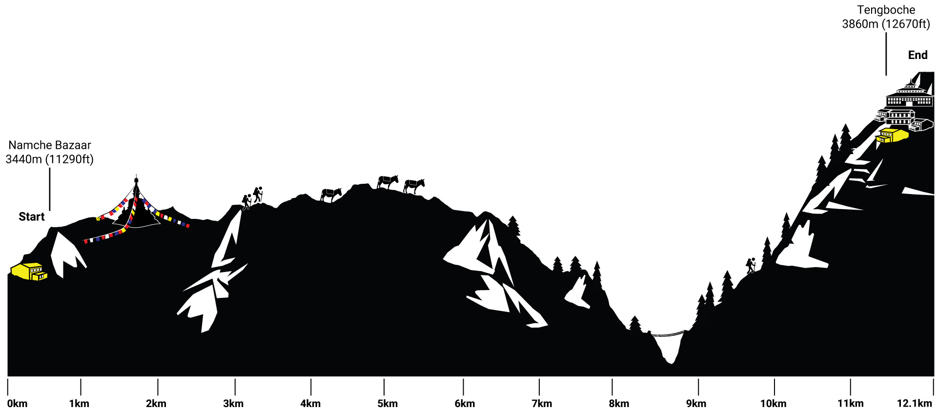
Everest Base Camp Trek Day 4
Namche Bazaar – Tengboche
Hiking 10.6 km Ascent: 852 m Descent: 439 m Max Elevation: 3845 m

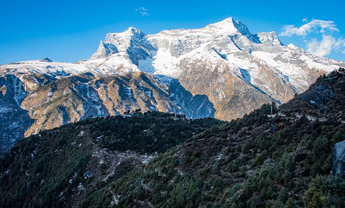
On our way out of Namche Bazaar
After our acclimatization day in Namche, we were on the way to the Tengboche Monastery. We were still a bit tired, and the first couple of steps were tough. The path out of Namche is steep. We passed by the Hotel “Everest View” which is supposed to be the highest hotel in the world, with a nice view of the top of the world, as the name suggests. There were a lot of small bakeries on the way, we tried our best for something baked, but at the beginning of February, they were all still closed.
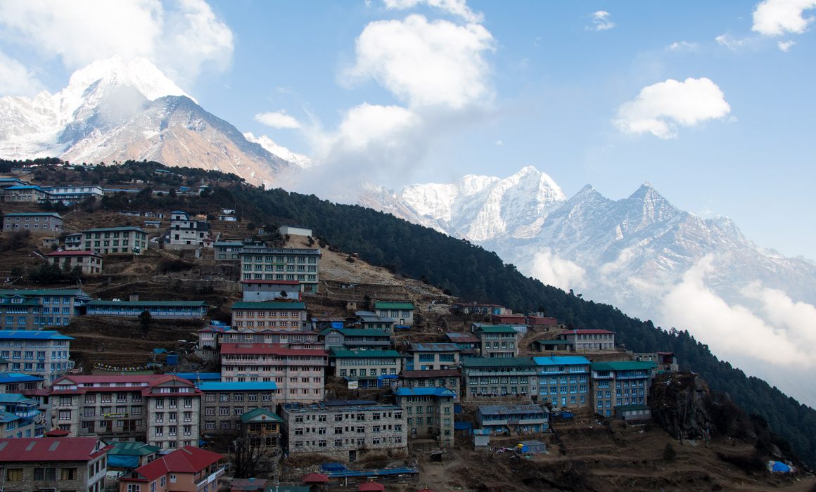
We passed quite a few yellow tents in Namche. In high season too many trekkers demand accommodation – the last ones arriving have to go camping.
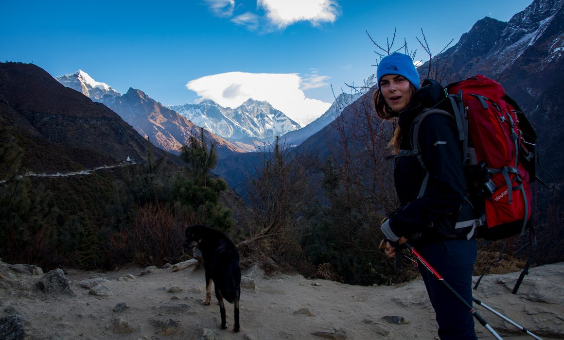
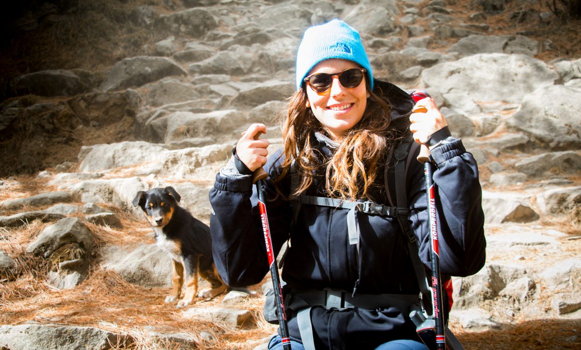
Along the way, we found a new friend – Herman – a young dog who followed us for a bit.
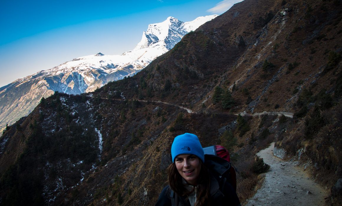
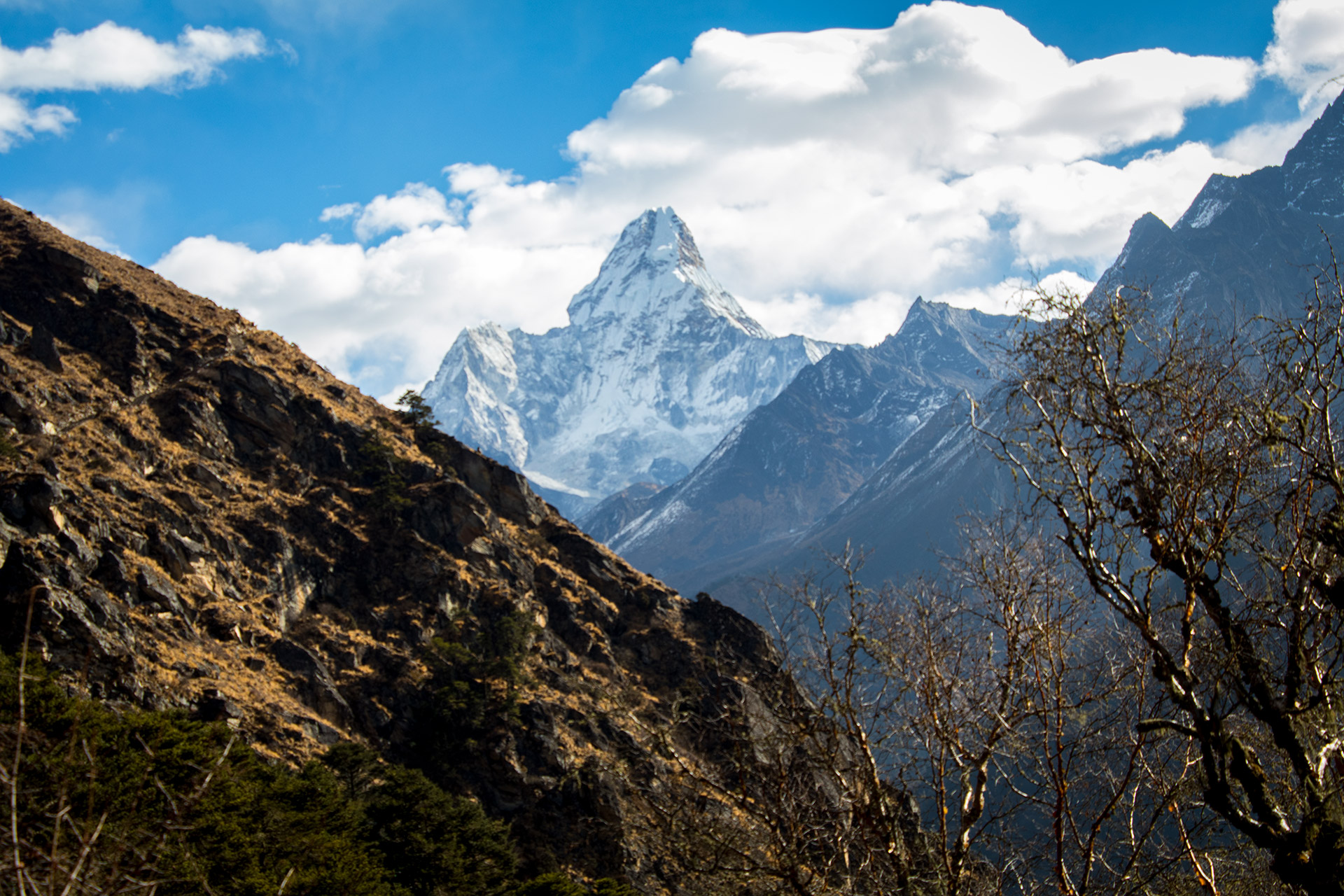
The ever-changing Ama Dablam
After the first steep climb, the path leveled, and the kilometer flew by. The Ama Dablam was a loyal companion, for the next days. A breathtaking mountain that changed its face daily. First, the silhouette was razor sharp, the next day the peak appears to be chunky and fat. It quickly became Bella’s favorite mountain on the trek. My favorite wasn’t visible yet, but I couldn’t wait to finally see it. (if you want to know, I met my mountain friend on Day 9 Lukla – Gorak Shep)
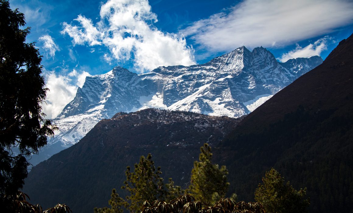
There are a couple of pagodas along the way. We took a small break, had a Snickers (we brought tons of Snickers, and highly recommend it for a power boost along the way) and enjoyed the fabulous view over Dudh Kosi valley. From up there, we could see the bridge we had to cross, right before the “Namche Jump”. Wowza what a view.


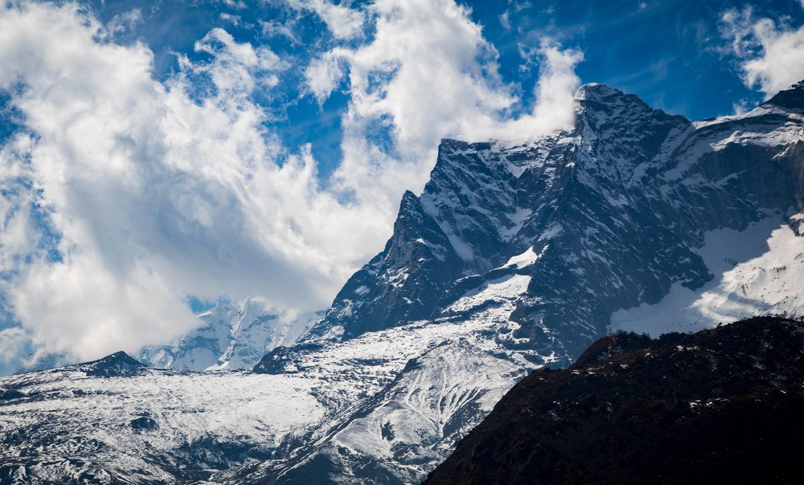
The frozen north wall of the Kongde Ri – with its 6.187-meter high peak – looms over Namche Bazaar and the entire National Park. Everywhere else this would be the gigantic mountain, but here it felt small.
Hiking through the Rhododendron forest
We reached a small Rhododendron forest, the branches were still bare. It must be amazing to walk through this area in spring when the rhododendron is in full splendor. The crimson red of the rhododendron can be found on the Nepalese flag and is the country’s national flower. In lower altitudes the rhododendron blooms are crimson red, the higher it gets the blooms are changing more and more to pink until they become entirely white (around 3.600 m).


Right after the High Mountain Bakery Café the path splits, the left path will lead you towards Khumjung and Khunde. We followed the path to the right. A few hundred meters later the trail splits again, the left side will bring you all the way up to Gokyo Ri from where you can climb over the Cho-La-Pass and reach the Everest Base Camp, too. It was high on our list to see Goyko Ri and the famous lake, but the weather forecast was too unstable.
Phungi Thenga
The trail went down until we reached Phungi Thenga. From where we could already see Tengboche, our destination for the day.
Herman left us and followed a few porters. Cheater! But shortly after we got an upgrade, or to put it the right way, a downgrade. Little Herman joined us. A small, too cute, puppy version of the old Herman. Even Bella “I won’t touch the stray dogs!” couldn’t resist little Herman.
Ever Green Lodge & Restaurant in Phungi Thenga
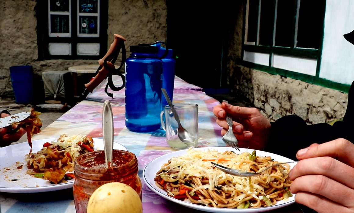
In Phungi Thenga we had lunch: amazing Sherpa noodles and fried potatoes with cheese. Yum! The final 2.5 km of the trek was straight uphill. A steep 500-meter climb to be more precise.
After crossing another suspension bridge, we had to show our TIMS card again. On the right side of the trail were a few hydro power fortune wheels. Free blessing for everybody passing by. Happy hikers! 🙂 Thank you fortune (wheel makers)!
The winding path was steep, and we stopped at every turn. I still don’t know how the porters are able to do this every day. Their calves must be superhuman.
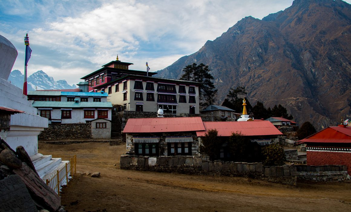
Tengboche
2 hours and a few silent swear words later, we finally reached Tengboche. Officially, you are not allowed to swear or fight in the National Park (there is a sign at the entrance) but this climb was unreal, so we made a soft excuse.
We took a room at the Hotel Himalaya, right at the beginning of Tengboche. After a small nap, we visited the Tengboche monastery – the highest monastery in the world. We had to take our shoes off, which did not scent so good after 3 days of hiking. The monastery was built in 1916 and rebuilt twice after being destroyed by an earthquake and a fire. The wood carvings in the main courtyard and prayer room are impressive. The walls of the prayer room are covered with detailed paintings of Buddha.
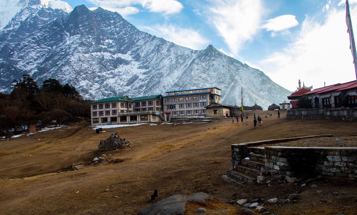
Tengboche is located on a mountain ridge, during the night the temperature can drop dramatically. This was also the first place where we did not have electricity or running water. The water in the barrels was even frozen. The whole hotel was super cold. Just the main room was heated by a yak poo power oven. After a quick dinner, we went to our cold room and fell asleep. The night was freezing!
Shuva Ratri
Hotel Himalayan in Tengboche


Hello
Once you reached the higher elevations and freezing nights, how did you get drinking water? Did you melt ice?
Thanks
Hey Kerensa!
We were always able to catch some water directly from the glacier. (We purified our water with purification tablets, at all times). And we had lots and lots of tea at every tea house we could find. In the mornings we usually got hot water from the tea house we were sleeping at. (They charge a decent amount). But its great to have something warm, especially early in the day!
Thanks for all the great information. Heading to EBC this November and using all your info as a resource. Can you tell me where you got the 3D maps/visuals?
Thanks
Hi Darell,
we use Photoshop and a plugin called “3D Map Generator – Atlas”. But it is a lot of work to make the maps. Especially the texturing takes a lot of time.
Cheers
Jan
I have been surfing about the EBC for last one month and this by far is the best place i came across..How much do u prioritize aclimatization day as our holiday is limited.. Thank You
Trekking this October